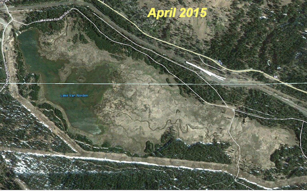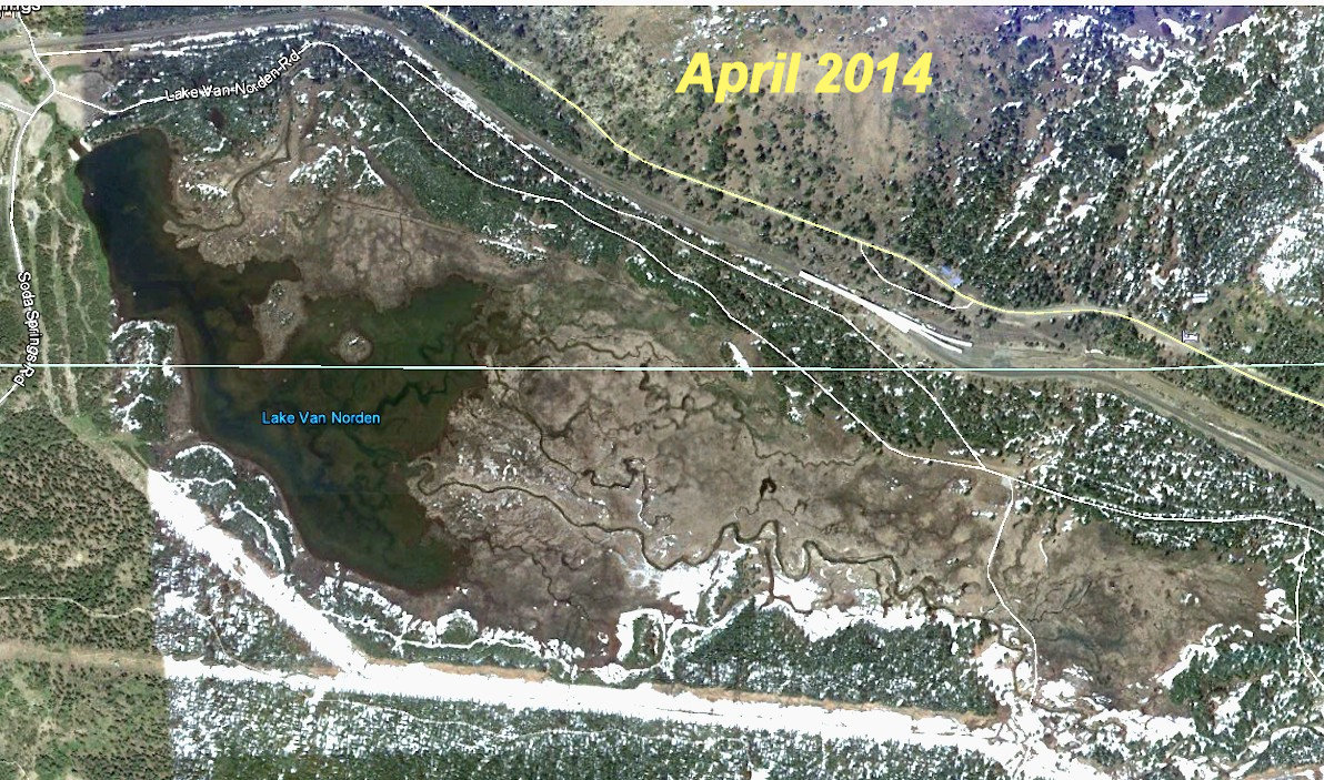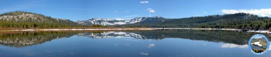
The release by Google of new map imagery is not something most people get excited about. However, this year the new satellite imagery of the Summit Valley is particularly disturbing. The two satmaps included here are from just one year apart, April 2014 and April 2015. Now as we all know, 2014 was the third year of drought on the summit and it was a pretty dry year, but even in April of that year there was water draining in every channel. The really scary part of this however is that the April 2015 satmap shows very little water in the Summit Valley even compared to the 2014 map. In fact, the April 2015 map looks much more like the map you would see in June or July of a “normal” year.
We have been lucky so far this year that May and June have had more rain than normal and it is stretching out the spring melt. However, once the warm weather settles in (and that should be soon) we can expect that the Summit Valley is going to have one of the driest years on record. This really brings home how important it is to keep as much water as possible in the Valley in the summer and why it makes no sense to be decreasing water by draining Lake Van Norden.