Cycling the upper Yuba
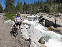
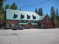
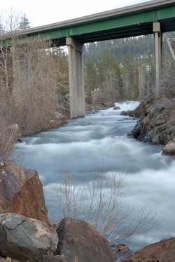
The melt is finally full on at the summit and there is water everywhere. Of course being at the summit, gravity is pulling all this water away in every stream and river flowing down from the summit. One of the main channels for this melt water is the Yuba River whose headwaters is the Van Norden Lake at the summit. Most of the year the yuba is a lazy little river flowing down the I80 corridor from the summit. But at this time of the year the river becomes a roaring torrent, that turns every rocky stretch into a rumbling cascade. This last week, Linda and I broke out the road bikes and headed down the hill via Old Hwy 40 down to the historic Rainbow Lodge. This ride is always scenic, but at this time of the year the sound of running water over the rocky river bed makes it a joy.
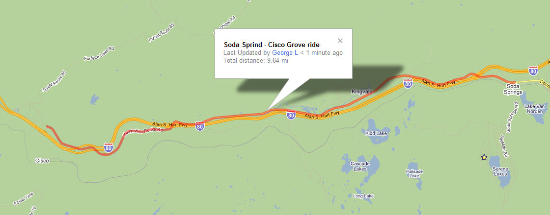
If you are interested in doing this ride, try to get out there in the next two weeks if you want to enjoy the Yuba at it’s peak. The ride from Soda Springs to Cisco Grove is about 11 miles one way. The route can be started at either Soda Springs or Cisco and can be done as a round trip or one way by setting up a car shuttle. As the elevation profile shows, this ride is linear and has an elevation gain (or loss) of ??? feet. If you are just looking for a great mountain ride, enjoying the roaring Yuba, I suggest setting up a car shuttle at Cisco and starting up at Soda Springs. Doing it this way is a nice coast down the hill and does not require having a great touring bike and the legs for making a pretty good climb back up to the summit.
If you’re looking for a real workout by doing a round trip ride then there are some things to consider. While the climb up to the summit is
pretty gentle for most of the ride, it is continuous for the 11 miles up the hill, and as is the case with many rides, the steepest portion of the ride is the last 1-2 miles from Plavada to Highway 80. Unfortunately, in the middle of the day there is no shade in this steep portion of the route and is somewhat protected from the wind, which can make it pretty warm, especially on a hot, windless day. I always like rides that end with a downhill, so if you’re like me you might want to do the round trip ride by driving down to Cisco Grove with the bikes in the early morning and do the ride up to Soda Springs, grab a cold drink at the general store, and then coast back down enjoying the scenery. Doing the ride this way early will avoid the doing the steepest part of the climb in the middle of the day when there is no shade.
Whichever way you do this ride, please have fun and enjoy the beautiful Yuba!


George –
Great blog. We’ve been in Serene Lakes 11 years and we’ve know about some of this trails but never found the exact location. You maps and description have really helped us. We took friends on the Sagehen Creek trail this Sat and then did the Cold Creek/Lost Trail Lodge hike on Sunday. As your South Yuba slide show proves, there is lots of running water.
Jim,
Thanks for the positive feedback. Glad to hear you got out to Sagehen. That is always a great hike.
We haven’t done the Cold Creek hike. We have done the hike up to Roller Pass from the Cold Stream side and that was great. What can you tell me about the Cold Creek hike? Where do you start and how far do you go? We’re always looking for new hikes.